Tampa Zip Codes — Every ZIP Code in Tampa, Florida
The most comprehensive guide to all 29 Tampa zip codes. Search by ZIP number, city, or county to find 2024 Census demographics, interactive maps, income statistics, race & ethnicity data, and detailed neighborhood profiles.
Quick Answer — Tampa ZIP Codes
Tampa, Florida has 29 zip codes in Hillsborough County. The most common Tampa zip code is 33601. Tampa zip codes range from 33601 to 33647. The most populated zip code is 33647 (New Tampa) with 74,844 residents. All Tampa zip codes use area code 813 and are in the Eastern Time Zone.
Tampa ZIP Code Statistics at a Glance
Understanding Tampa, Florida ZIP Codes
A ZIP code (Zone Improvement Plan code) is a five-digit postal code used by the United States Postal Service (USPS) to identify geographic areas for efficient mail delivery. Tampa, Florida's 29 zip codes are part of the 336xx prefix group assigned to the western central Florida region. Each Tampa zip code corresponds to a specific neighborhood, community, or delivery zone within the city and its surrounding areas.
Tampa's zip codes span a wide range of demographic profiles. The wealthiest neighborhoods, such as 33629 (Palma Ceia West) and 33626 (Westchase), have median household incomes exceeding $125,000 and median home values above $575,000. In contrast, more affordable communities like 33605 (East Tampa/Ybor City) and 33612 (University Area) offer lower costs of living but face higher poverty rates.
Tampa is one of the most ethnically diverse cities in Florida. Across its 29 zip codes, the racial and ethnic composition varies significantly: some areas like 33614 (Town 'n' Country) have a Hispanic population exceeding 69%, while others like 33610 (East Tampa) have a Black population above 50%. South Tampa zip codes like 33606 and 33629 tend to be predominantly White, while New Tampa (33647) stands out for its significant Asian population at nearly 16%.
The U.S. Census Bureau uses ZIP Code Tabulation Areas (ZCTAs) — statistical representations of USPS ZIP codes — to publish demographic data. All population, income, housing, education, and race/ethnicity figures on this site come from the American Community Survey (ACS) 2024 5-Year Estimates, the most reliable and granular source of ZIP-level demographic data in the United States.
Featured Cities in the Tampa Bay Area
Explore zip codes organized by city. Each city page includes complete ZIP code listings, aggregate demographics, maps, and neighborhood profiles.
Tampa, Florida
Hillsborough County
29 zip codes · Pop. 384,959
View Zip CodesSt. Petersburg, Florida
Pinellas County
15 zip codes · Pop. 258,308
View Zip CodesClearwater, Florida
Pinellas County
8 zip codes · Pop. 117,543
View Zip CodesBrandon, Florida
Hillsborough County
5 zip codes · Pop. 114,626
View Zip CodesTemple Terrace, Florida
Hillsborough County
2 zip codes · Pop. 26,978
View Zip CodesPlant City, Florida
Hillsborough County
3 zip codes · Pop. 39,533
View Zip CodesRiverview, Florida
Hillsborough County
4 zip codes · Pop. 95,404
View Zip CodesTampa Bay Area Counties
The Tampa Bay metropolitan area spans five counties. Browse zip codes by county to find demographics, maps, and postal data for every community.
Tampa Bay Area Interactive Map
Use this interactive map to explore cities and zip codes in the Tampa Bay region. Click any marker to view the city's zip codes, demographics, and community profiles.
Interactive map of Tampa Bay, Florida. Data sources: U.S. Census Bureau, USPS.
Complete List of Tampa ZIP Codes
The table below lists all 29 zip codes in Tampa, Florida sorted numerically. Click any zip code to view its full demographic profile, interactive map, race & ethnicity data, and nearby zip codes.
| Zip Code | City | County | Population | Median Income | Type |
|---|---|---|---|---|---|
| 33601 | Tampa | Hillsborough | 0 | Data not available | PO Box |
| 33602 | Tampa | Hillsborough | 21,452 | $97,320 | Standard |
| 33603 | Tampa | Hillsborough | 19,869 | $74,081 | Standard |
| 33604 | Tampa | Hillsborough | 40,055 | $58,766 | Standard |
| 33605 | Tampa | Hillsborough | 16,030 | $36,975 | Standard |
| 33606 | Tampa | Hillsborough | 24,570 | $120,729 | Standard |
| 33607 | Tampa | Hillsborough | 25,291 | $69,694 | Standard |
| 33608 | Tampa | Hillsborough | 0 | Data not available | PO Box |
| 33609 | Tampa | Hillsborough | 18,535 | $115,844 | Standard |
| 33610 | Tampa | Hillsborough | 46,587 | $54,209 | Standard |
| 33611 | Tampa | Hillsborough | 36,810 | $90,910 | Standard |
| 33612 | Tampa | Hillsborough | 49,005 | $47,199 | Standard |
| 33613 | Tampa | Hillsborough | 37,591 | $44,032 | Standard |
| 33614 | Tampa | Hillsborough | 47,298 | $50,232 | Standard |
| 33615 | Tampa | Hillsborough | 47,245 | $69,274 | Standard |
| 33616 | Tampa | Hillsborough | 15,830 | $93,210 | Standard |
| 33617 | Tampa | Hillsborough | 47,851 | $50,948 | Standard |
| 33618 | Tampa | Hillsborough | 27,771 | $84,788 | Standard |
| 33619 | Tampa | Hillsborough | 41,396 | $66,134 | Standard |
| 33620 | Tampa | Hillsborough | 0 | Data not available | Unique |
| 33621 | Tampa | Hillsborough | 2,393 | $107,188 | Standard |
| 33624 | Tampa | Hillsborough | 41,346 | $87,760 | Standard |
| 33625 | Tampa | Hillsborough | 29,967 | $93,133 | Standard |
| 33626 | Tampa | Hillsborough | 30,575 | $127,118 | Standard |
| 33629 | Tampa | Hillsborough | 27,710 | $164,355 | Standard |
| 33634 | Tampa | Hillsborough | 21,862 | $74,291 | Standard |
| 33635 | Tampa | Hillsborough | 19,134 | $86,894 | Standard |
| 33637 | Tampa | Hillsborough | 17,658 | $63,323 | Standard |
| 33647 | Tampa | Hillsborough | 74,844 | $109,285 | Standard |
Source: U.S. Census Bureau ACS 2024 5-Year Estimates. Population and income data represent ZIP Code Tabulation Areas (ZCTAs).
Tampa Neighborhoods by ZIP Code
South Tampa (33606, 33609, 33611, 33629)
South Tampa encompasses the city's most affluent neighborhoods including Hyde Park, Palma Ceia, Beach Park, and Bayshore Boulevard. These zip codes consistently rank among the highest in median household income and educational attainment in the Tampa Bay region. 33629 leads with a median income of $164,355.
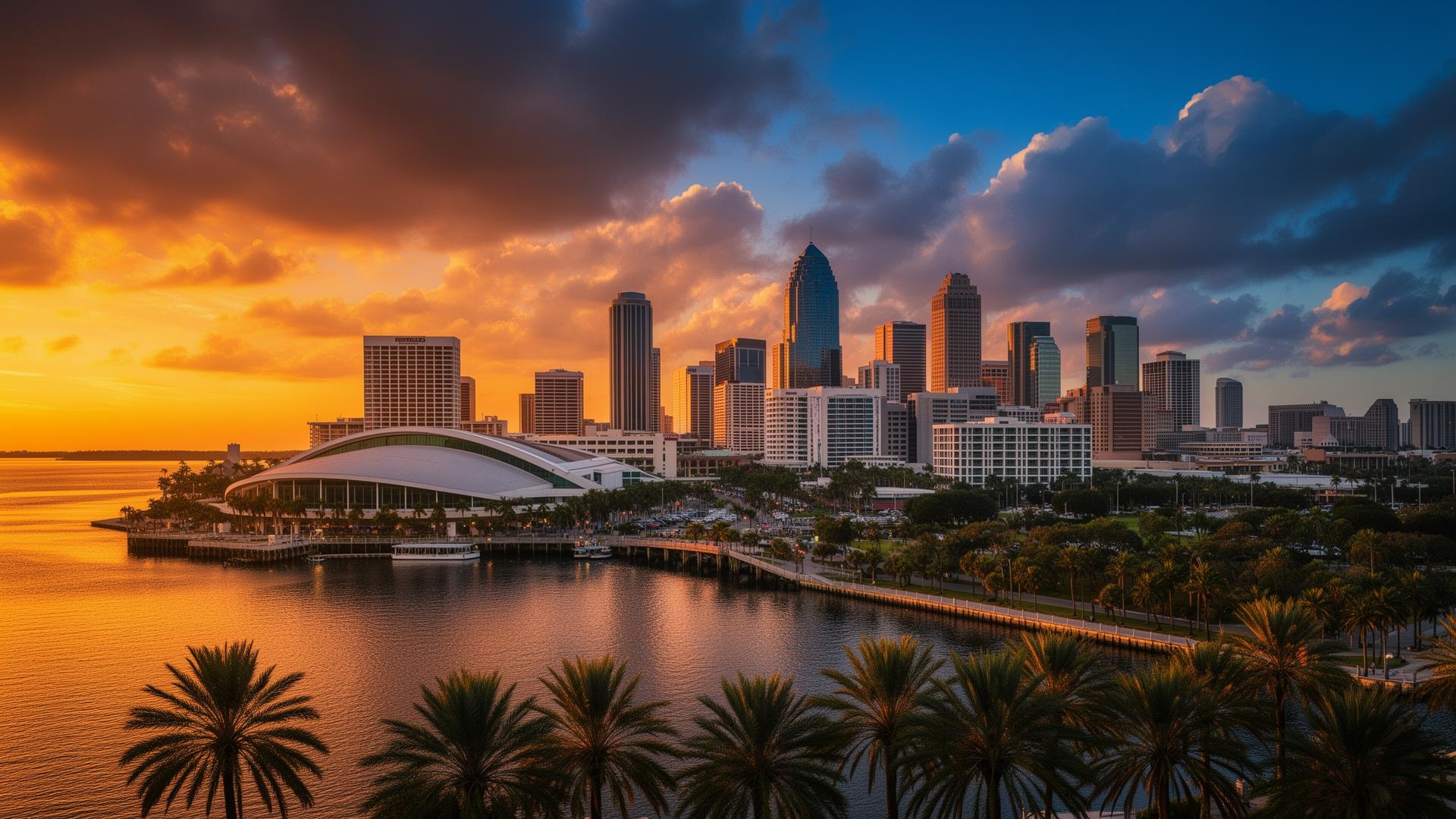
Downtown Tampa (33602, 33607)
Downtown Tampa and the Channel District (33602) have experienced rapid growth with new residential high-rises and the revitalized Tampa Riverwalk. The area is home to the Tampa Convention Center, Amalie Arena, and the Florida Aquarium. 33602 has a population of 21,452 with a median age of just 33.8 years.
New Tampa (33647)
New Tampa is the city's most populous zip code with 74,844 residents. This master-planned community in northern Hillsborough County features Tampa Palms, Pebble Creek, and numerous family-oriented neighborhoods. 33647 is notably diverse, with a 15.9% Asian population — the highest in Tampa.
Historic Districts (33603, 33605)
Tampa's historic districts include Seminole Heights (33603) and Ybor City (33605). Seminole Heights has emerged as one of Tampa's trendiest neighborhoods with craft breweries and local restaurants. Ybor City, Tampa's historic Latin Quarter, was founded by cigar manufacturers in the 1880s and is now a vibrant entertainment district.
About Tampa Zip Codes
Census-Verified Data
All demographics sourced from the U.S. Census Bureau American Community Survey (ACS) 2024 5-Year Estimates. Population, income, housing, education, race & ethnicity, and age distribution data for every Tampa ZIP code.
Regularly Updated
ZIP code boundaries, delivery assignments, and demographic estimates are updated as new Census data becomes available. We verify data against Census Reporter, USPS, and the Census Bureau's data.census.gov portal.
Free & Open Access
All ZIP code lookups, demographic data, and interactive maps on tampazipcodes.com are completely free with no registration required. Our mission is to make Census data accessible and useful for everyone.
Frequently Asked Questions About Tampa ZIP Codes
Find answers to the most common questions about Tampa, Florida zip codes. These answers are sourced from USPS postal data and U.S. Census Bureau records.